top of page

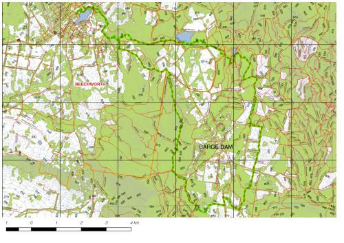
Topographical Maps
People are familiar with topographical maps.
They are used for recreational purposes, such as travelling, hiking and orienteering, but they are also used by government and industry to assist with urban planning, mining, emergency management and the establishment of legal boundaries and land ownership.
Choropleth Maps
Choropleth Maps are used for geospatial analysis.They describe the features of and activities in particular places and how they relate to other places and activities. They can be used to make judgements about how places are managed and the impact of activities on people and assets in those places. The design of a choropleth map is determined by the questions being asked about these places or what problems need solving. For example planners might ask about the relative age and income in a particular area and how this relates to the provision of health and education services for that area. These maps provide a visual response to these problems and answers.

bottom of page