Building a Topographic Map
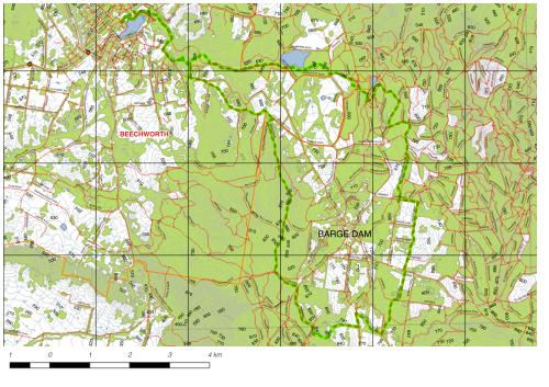
Topographic Maps are detailed, accurate graphic representations of features that appear on the Earth's surface.
These features include:
-
cultural: roads, buildings, urban development, railways, airports, names of places and geographic features, administrative boundaries, state and international borders, reserves
-
hydrography: lakes, rivers, streams, swamps, coastal flats
-
relief: mountains, valleys, contours and cliffs, depressions
-
vegetation: wooded and cleared areas, vineyards and orchards.
They are used for recreational purposes, such as travelling, hiking and orienteering. They are also used by government and industry to assist with urban planning, mining, emergency management and the establishment of legal boundaries and land ownership.
Once produced they can be printed on paper, published on web-sites or downloaded to applications on mobile phones to use in the field for navigation or to collect data.
